Introduction
Dover is a coastal town and major port in the southeast corner of Kent, and home to over 28,000 people. The town is well known as a crossing point between England and Calais in France, a journey across the English Channel of 21 miles. Maritime evidence dating from c.4,000 years ago reveals Dover has long been used by people travelling to and from the continent, however it’s the fossil evidence that predates human endeavours by many millions of years that is the subject of particular interest here.
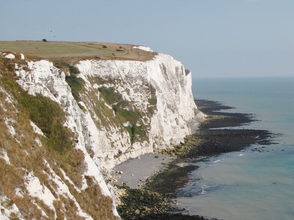
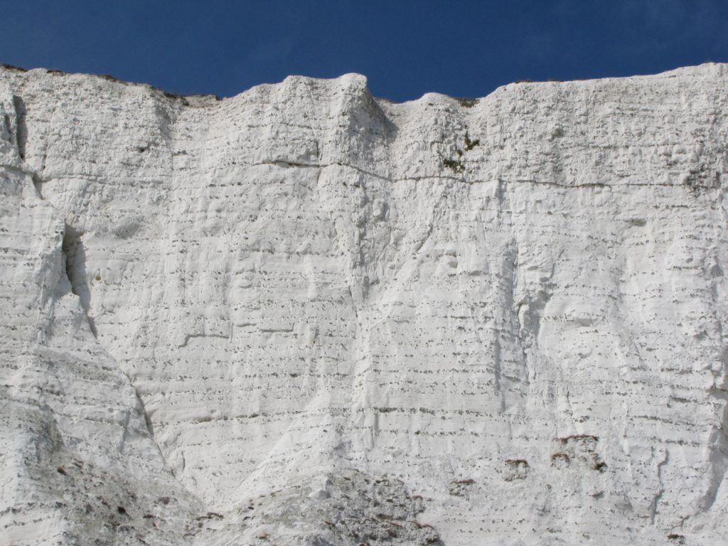
Immediately east of the town and continuing 2 miles towards St Margaret’s Bay are the famous White Cliffs of Dover, an exposure of Middle and Upper Chalk dating from the Late Cretaceous epoch, 89-85 million years ago. At this time the Dover area lay beneath a relatively shallow sea, over a hundred miles from the nearest land. Fossils reveal the prehistoric sea was home to a variety of organisms, in particular sediment burrowing echinoids, bivalves, sponges and other marine organisms including crustaceans and sharks.
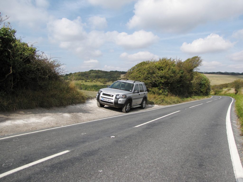
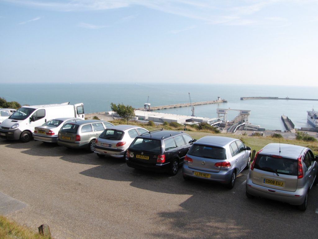
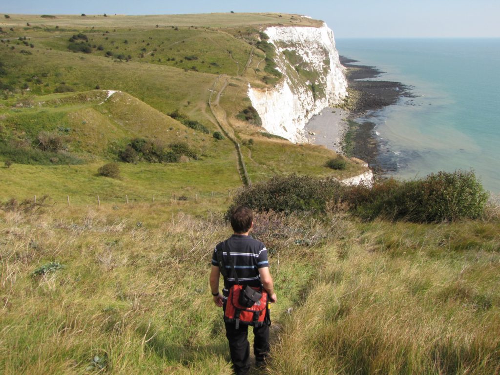
Access to the cliffs and beach is made from the hill-top, from which it’s a fair walk along the coast to Langdon Hole, where a zigzag path descends the cliff-face. Parking is available along Upper Road or within the National Trust pay-and-display car park shown below.
From the car park a number of well trodden routes connect with several major footpaths travelling broadly east and west along the cliff-top. The best route is towards the east via the lowest footpath, which briefly heads towards the west beneath the car park, before taking a sharp-left and descending to the cliff-edge.
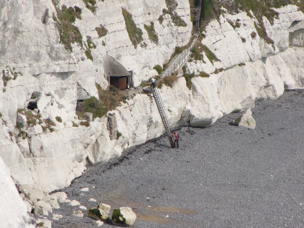
The footpath continues along the coast before descending steeply into Langdon Hole (shown below-left) – a shallow eroded valley formed by seasonal melt water towards the end of the recent ice age, 14,500 years ago (see the Seaford Head report for more details of eroded chalk valleys). Follow the path into Langdon Hole and up the other side. Shortly before reaching the top of the other side, a narrow path leads off to the right and zigzags down the cliff-face. At the bottom of the path a ladder spans the remaining 8 metres to the beach (shown below).
The geology of Dover
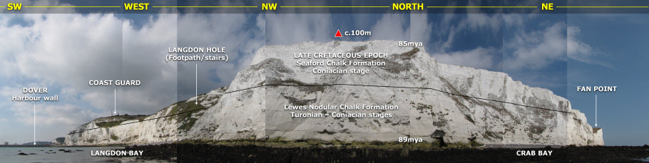
The chalk exposed east of Dover belongs predominately to the Upper Chalk, and was deposited during the Turonian and Coniacian stages of the Late Cretaceous epoch between 89-85 million years ago (mya). At this time the Dover area and much of Great Britain, along with Europe, lay beneath a relatively shallow sea approximately 40°N of the equator, on an equivalent latitude to the Mediterranean Sea today.
In comparison with present-day conditions, global sea-levels during the Late Cretaceous were over 200 metres higher. The higher sea levels likely reflect a combination of extreme greenhouse conditions and heightened plate tectonics. Elevated plate tectonic activity and the associated volcanics delivered greenhouse gases to the atmosphere, fuelling the greenhouse effect. Global high temperatures melted much (perhaps all) of the ice at high latitudes, introducing significant amounts of water to the world’s oceans. Uplift of the ocean-floor in regions of active plate tectonics displaced further water onto the continental shelves.
The evidence of higher sea levels is reflected in the white chalk at Dover. The purity of the chalk indicates its formation took place far from land, mostly free of terrestrial sands and silts that would otherwise have coloured it. Evidence indicates the nearest landmass was where Wales is today. At Dover the lower half of the cliff and foreshore contains a slightly greater volume of land-sourced sediment, this is particularly evident in the hardgrounds described below. Chalk is largely comprised of the skeletal remains of planktonic algae known as coccolithophores which accumulated to form a white ooze on the seafloor. This soft sediment was later compacted and hardened (lithified) to form chalk – a relatively soft rock itself. To discover more about chalk click here.
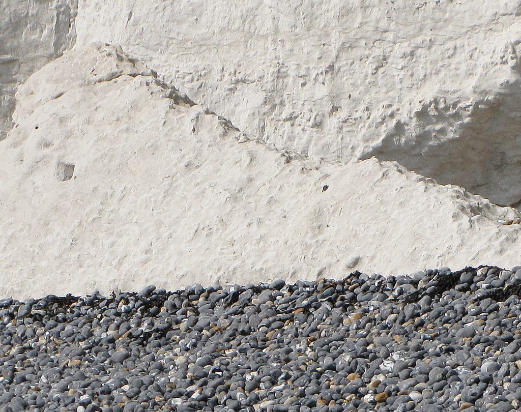
Today the chalk appears above sea level, the result of lower present-day sea levels and widespread uplifting caused by the pressure of the European and African continental plates colliding (generating the Alps), a process that took place at its greatest extent 30-25 mya. More recently, following the end of the last ice age and subsequent increase in sea levels (albeit to a lesser extent than 84 mya), the coastline has moved inland, exposing the elevated chalk to intensive erosion and sculpting it into a vertical cliff-face.A short distance east of Langdon Hole a conspicuous layer of white chalk interspersed with soft, grey chalk, can be seen at the foot of the cliff and on the foreshore. This layer within the Lewes Nodular Chalk Formation is known as a hardground complex (shown below).
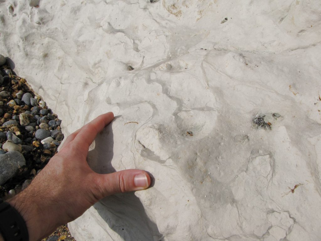
Hardgrounds are understood to reflect disruptions to the steady accumulation of chalk forming sediment, during which sedimentation simply ceased and/or the unconsolidated, soft surface sediments were stripped away by bottom currents or slumping, exposing the older consolidated chalk sediment. Research has shown that a single hardground may have been exhumed 16 or more times before long-term burial took place. For more information about hardgrounds see Seaford Head.
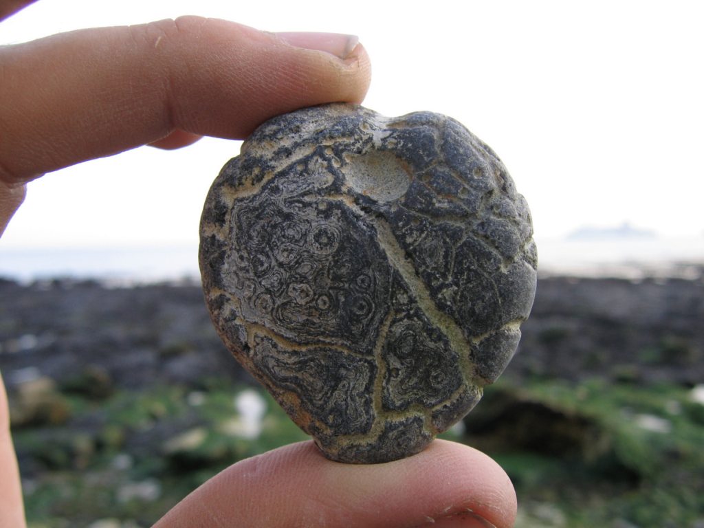
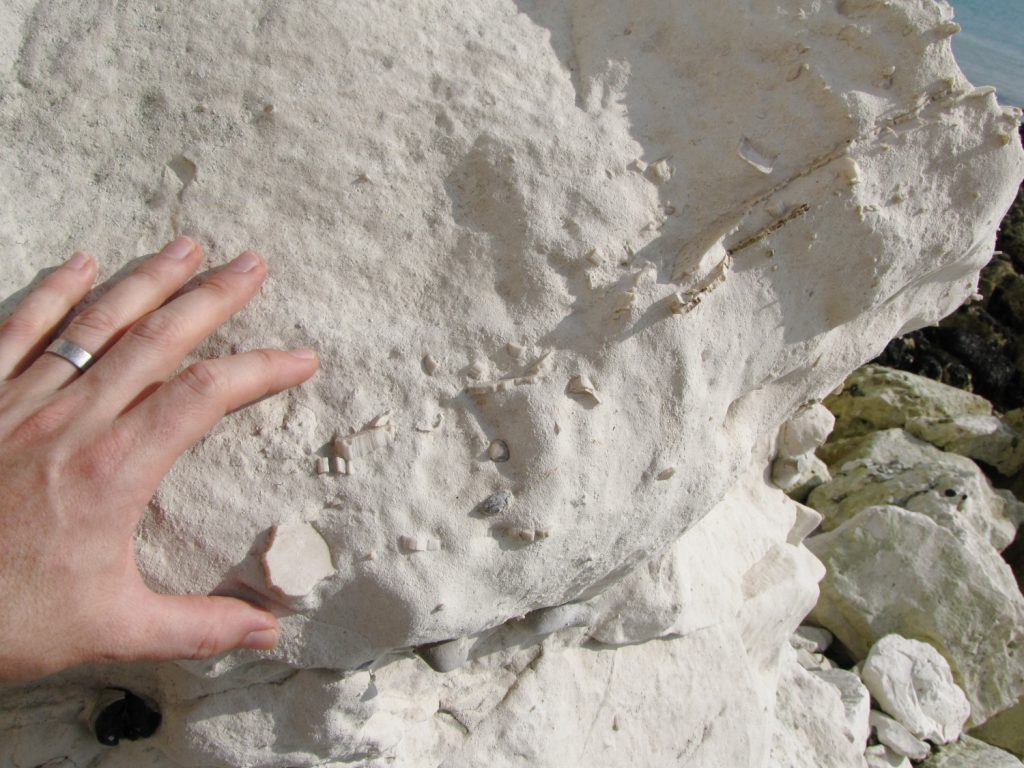
Another striking characteristic of the chalk at Dover is the presence of dark-coloured nodular and sheet flints that appear as horizontal bands in the cliff-face and as loose pebbles on the beach (shown below).
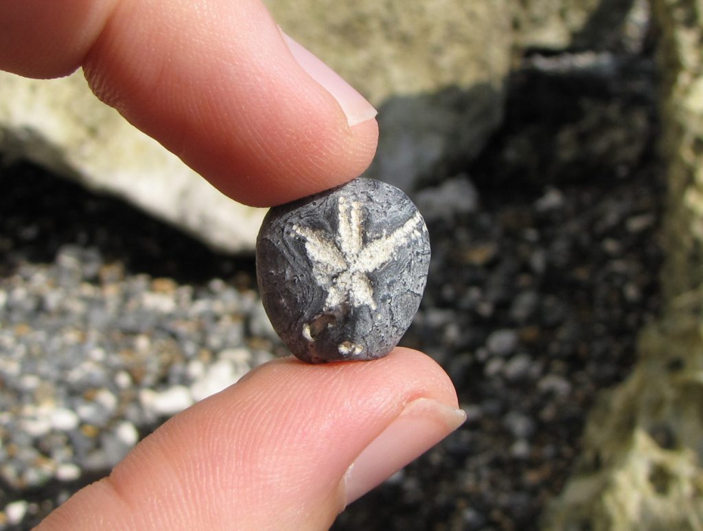
Although flint is inorganic, the silica that formed it was originally sourced from the remains of sea sponges and siliceous planktonic micro-organisms (diatoms, radiolarians). Flints are concretions that grew within the sediment after its deposition by the precipitation of silica; filling burrows/cavities and enveloping the remains of marine creatures, before dehydrating and hardening into the microscopic quartz crystals which constitute flint. Consequently it’s common to find fossil evidence of these creatures preserved as flint, especially the internal moulds of Micraster echinoids.
Where to look for fossils?
Fossils can be found on the foreshore and at the cliff base in either direction from Langdon Hole, although for the purposes of this page the focus is towards the northeast (left when looking out to sea). The most productive and safest place to search for fossils is on the foreshore at low-tide. Chalk boulders and flint nodules are scattered along the entire stretch, providing a constant supply of fossils.
Please note that any in situ chalk is assigned SSSI status, which requires visitors avoid damaging (including hammering) the area. From a fossil collecting perspective this means it’s not permitted to extract specimens that are in situ. Collecting efforts should be directed towards the loose boulders and pebbles on the foreshore.
As with all coastal locations, a fossil hunting trip is best timed to coincide with a falling or low-tide. For a relatively low one-off cost we recommend the use of Neptune Tides software, which provides future tidal information around the UK. To download click here. Alternatively a free short range forecast covering the next 7 days is available on the BBC website click here.
What fossils might you find?
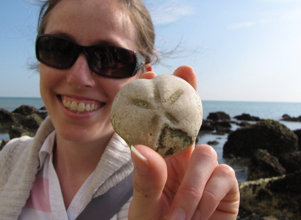
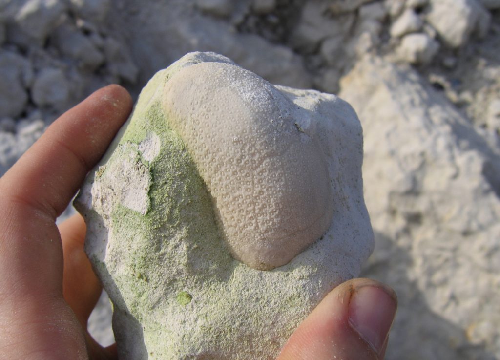
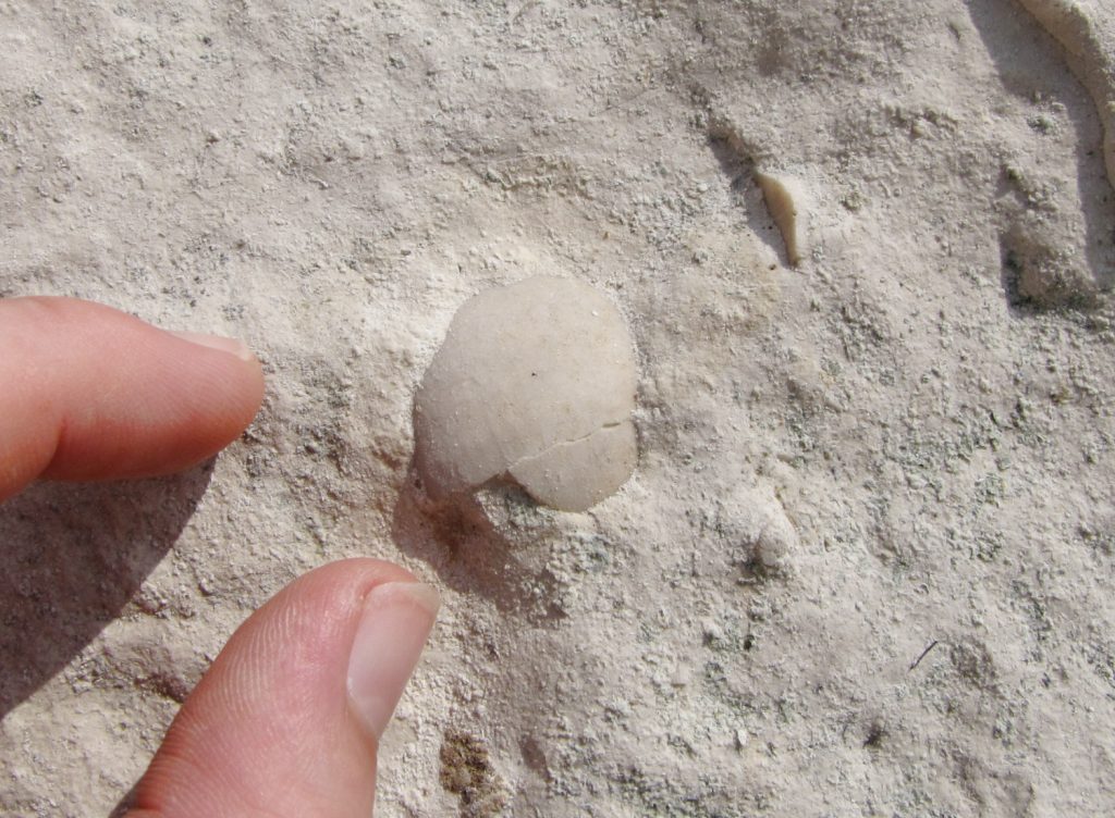
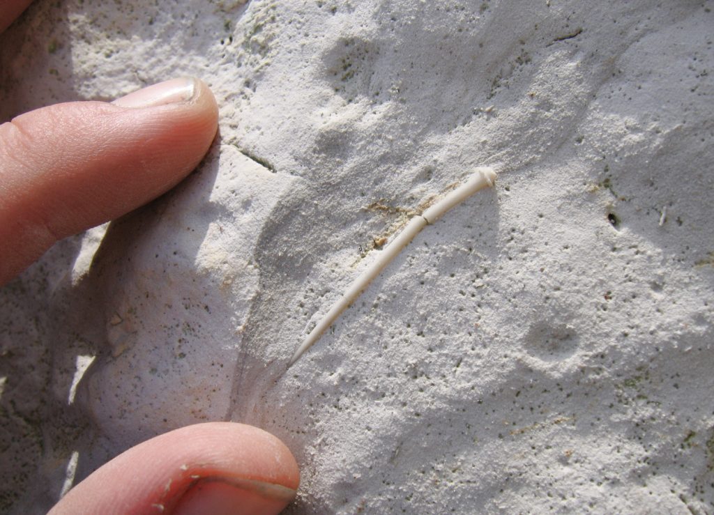
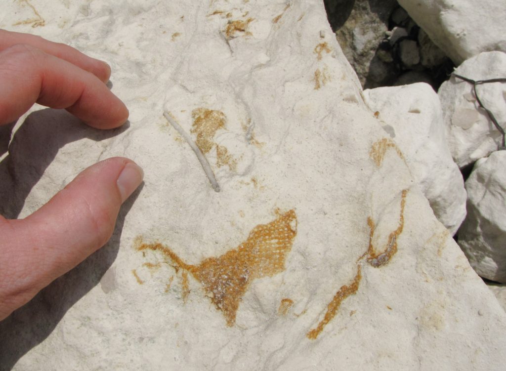
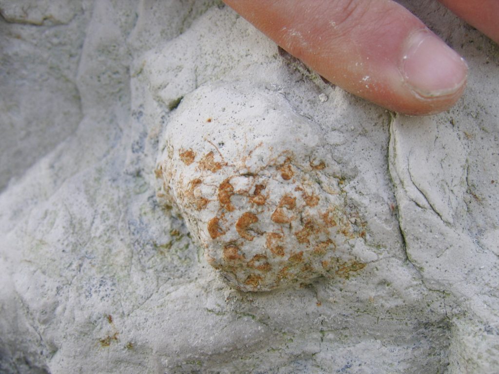
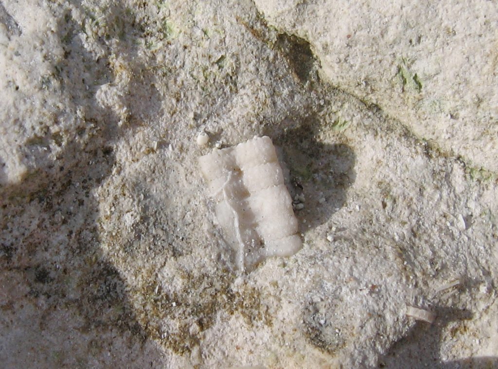
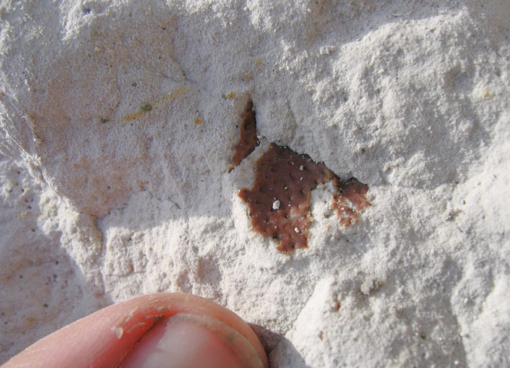
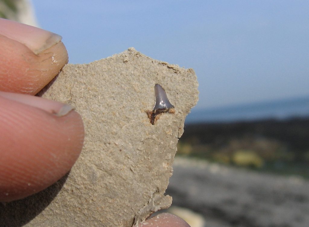
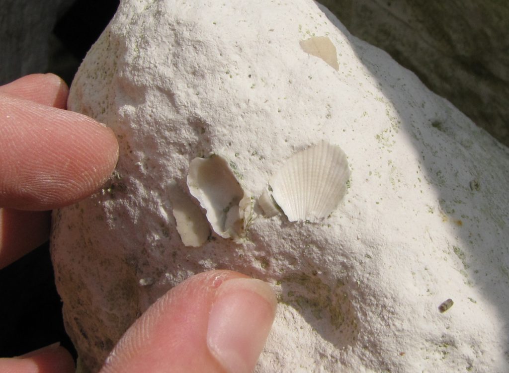
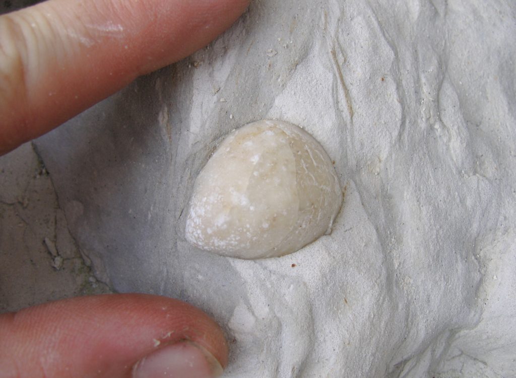
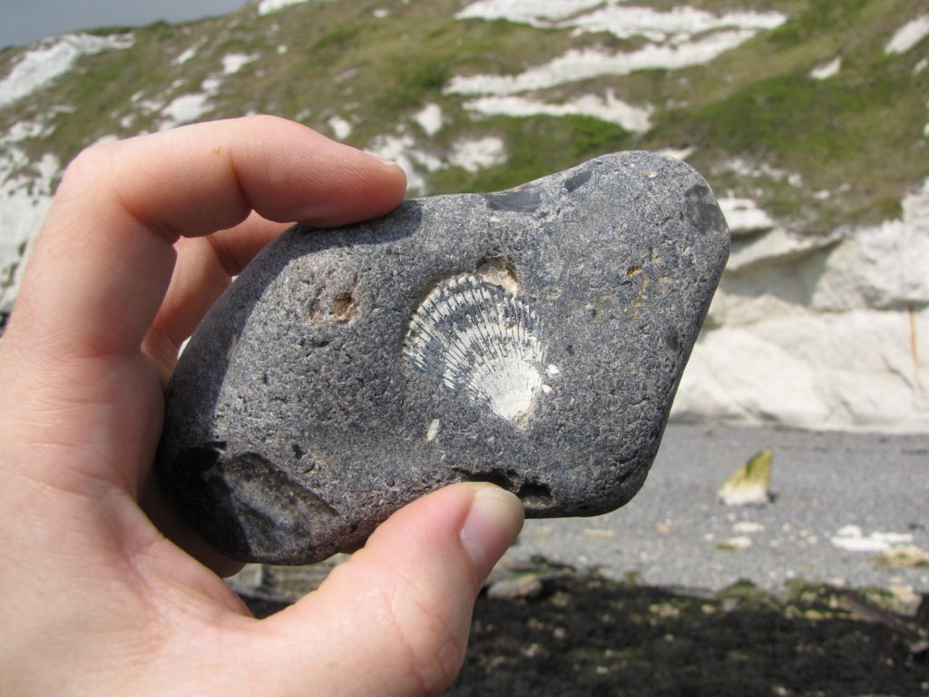
Below is a selection of fossils discovered at Dover over several visits. Where possible the genus of each specimen has been indicated, if a confident ID can’t be achieved a question mark has been added to indicate so. Among the more frequent finds include echinoids, brachiopods, bivalves and sponges; less common finds include shark teeth and crinoid stems among others.